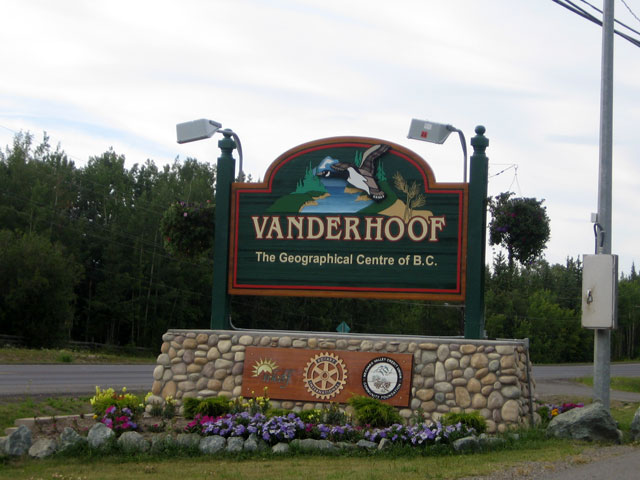
The kind of fall we’re going to have in Vanderhoof this year is anyone’s guess according to Environment Canada.
The output of the weather models they are gathering show an equal one-third chance of having a warmer-than-normal-fall, colder-than-normal fall or a seasonal one.
Meteorologist, Doug Lundquist recently spoke with MyNechakoValleyNow.com.
“That’s pretty rare. Usually, it picks either warmer or colder than average with near-average being the least likely of the three that I’ve seen over the years but this year, it can’t decide, which of the three it wants to be for Prince George and the Central Interior.”
“All three categories in our system came out about equal, so we can’t really choose any of them.”
The summer months, which go from June until August came in dead-on with the seasonal averages, which is pretty unusual according to Lundquist.
“That’s pretty unusual in the sense that weather is somewhat random and is above and below the average so for us to land that close to average is pretty unusual.”
When we wrap up the summer months, the northern capital recorded 183 millimetres of precipitation compared to the normal of 177.
The average temperature was 14.2 degrees during the three-month period, while the seasonal mark is 14.8.
Lundquist believes the region benefitted from the cooler, damper conditions after being a part of back-to-back record-breaking wildfire seasons in 2017 and 2018.
“The last couple of years some of the stations had record-breaking summers and this year, with it being closer to average, there was well-timed precipitation across most of the province and we can see that we came out with one of the best summers ever as we had no smoke, and the fire weather risk was much lower resulting in fewer fires.”
Something going on in the Nechako Valley area you think people should know about?
Send us a news tip by emailing [email protected].


