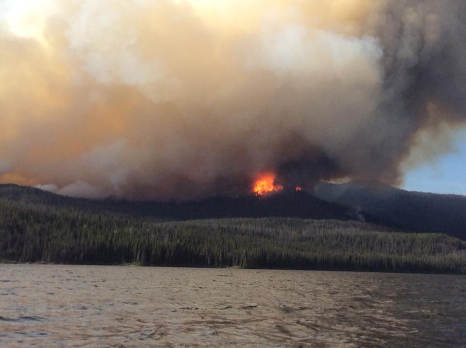
The recent clearing of the smoke in Vanderhoof might be short-lived according to Environment Canada.
The smoke looked as if the northern capital was lost in the fog on Friday but dramatically improved Saturday and Sunday.
Another wind shift is expected, which could bring the smoke back.
“We are still expecting mostly sunny conditions for today but the wind direction is likely to change over Prince George. The northwesterly winds will shift to more of a westerly wind aloft sometime today and into Tuesday and Wednesday,” says Cindy Yu, Meteorologist.
“This is the important part, as long as the fires are burning nearby, those are the sources of our air quality issues as long as those fires are burning we have the potential of seeing wildfire smoke coming back into our city.”
Mother Nature continues to play hardball with a number of fires that are currently burning across Northern BC.
No rain is in the forecast for this week as temperatures are expected to be in the mid to high twenties with lots of sunshine.
Yu says they would like to see a fall-like system sweep through the region, but that seems unlikely to happen.
“Usually we tend to see a Lucien low forming over the Alaska Panhandle providing a long period of rain over BC and we usually don’t see those until we are entering the fall season.”
To bolster firefighting efforts, crews have been brought in from Mexico as well as incident management personnel from Australia.


